
Randolph Neighbors in Block-Level Records
The strongest block lookup uses each source for its own purpose. MapGeo locates surrounding parcels. The assessment database names the current owner of record and supplies property context. Norfolk deeds verify title and plans. A certified abutters list offers a formal current-owner radius. Local voter material is requested from Randolph rather than from a statewide public search. Town agenda files, permits, historical directories, and newspapers add public context, yet none substitutes for a complete inventory of people at nearby addresses.
| Block source | What it shows around an address | Randolph access |
|---|---|---|
| MapGeo | Parcel boundaries, street context, possible owner or assessment link | Public dynamic viewer |
| Vision assessment | Owner-of-record, valuation, parcel and property characteristics | Public database entry and assessor counter |
| Certified abutters list | Current owners of record inside a selected radius | Town request, up to 10 business days |
| Norfolk deeds and plans | Title chain, subdivision plans, boundaries, easements | Online index, Registry terminals, copy route |
| Local voter list | Requestable public voter fields and address data | Randolph Clerk request with protected records omitted |
| Permits and code files | Address-specific work, applicant, inspections, code status | PermitEyes, Inspectional Services, or request |
| Agendas and minutes | Public abutters, applicants, board participants, decisions | Town Agenda Center filters and PDFs |
| Directories and newspapers | Historical occupants, businesses, announcements | State Library and Turner collections |
For Randolph neighbors, an owner name is an ownership result. It is not proof that the owner lives on the parcel or that no other person is connected with it.
Map a Randolph Block Parcel by Parcel
Use the known parcel as the center point. In Randolph MapGeo, zoom until the nearby boundaries and street numbers are legible, then select each parcel sharing a boundary or street frontage. Record the parcel identifier, situs address, owner link, and assessment reference. Cross-check a selected owner in Vision, then use the Norfolk Registry for the legal title. The captured text did not verify a particular buffer, radius, or layer tool, so manually selecting visible adjoining parcels is the defensible method unless the live viewer exposes a named tool.
- Locate the known address in MapGeo and note its parcel boundary, not just the mailing address.
- Select the lots immediately beside it or facing the same block, preserving the parcel and situs information for each.
- Compare each selected parcel with the Randolph Vision assessment database for the current owner-of-record and property reference.
- Confirm a title question in the Norfolk land-record index by party, town, date, plan, or legal description.
- Use the formal abutters route when a certified current-owner radius, rather than map context, is the needed result.
A block method is intentionally narrower than a full named-street trail. For parcel-by-parcel work farther along the road, use the Randolph Street Directory.
Randolph Neighbors in an Abutters Radius
Randolph's certified abutters request is the clearest formal owner-list route around one parcel. The form accepts a location and one or two map, block, or parcel identifiers. It offers 100-, 300-, and 500-foot radii, allows email, pickup, or mailbox delivery, and offers Excel, PDF label format, or labels. It asks for a purpose and contact details, says to allow 10 business days, and certifies that the resulting names and addresses are current owners of record as of the list date.
That specificity makes the form useful for a bounded property question. It still does not identify every person on the block, private delivery contacts, or protected records. Keep the output tied to its stated date and owner-of-record purpose.
The Randolph Form Center is a municipal starting point for public request routes.
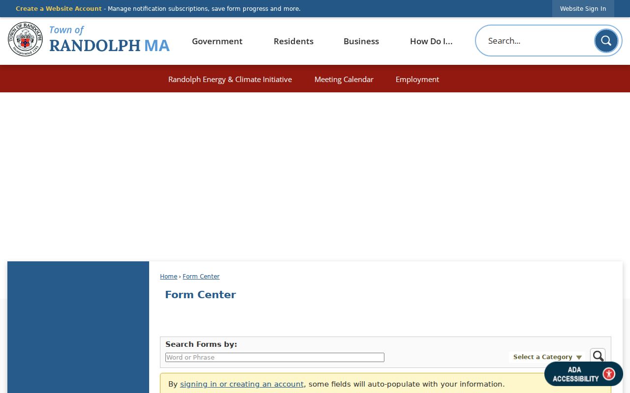
The municipal form route supports a documented request when a simple map view cannot answer the current-owner question.
Randolph Neighbor Voter Records Stay Local
Massachusetts does not offer a general public statewide voter file. Most voter and election records are public through local election officials, so a Randolph request goes to the Town Clerk or Board of Registrars. Specify the municipality, output format, date range, precinct or street if relevant, and the exact record sought. Ask for the cost estimate and redactions. The state guidance distinguishes a requestable local record from the licensed statewide campaign and political-party file.
A local list can include name, residence address, party, date of birth, active or inactive status, voter ID, registration or inactivity dates, and voting history. Phone, email, veteran status, permanent absentee status, confidential-voter records, and minors' records are not public. Ballot choice is never listed. The Secretary of the Commonwealth voter-information page explains those limits.
Randolph Blocks Use Different Map Boundaries
Parcel boundaries, precincts, ZIP delivery areas, and town districts are different kinds of geography. Randolph has 12 precincts, while the assessor and Registry use parcel or legal-description keys and USPS uses delivery routes. An address can therefore look different in a Clerk record, a deed, an assessment card, and a mailing system. Keep the source's own address form and compare the next record rather than assuming that one map boundary defines a whole block.
This is especially important near a major road or where town context shifts. MapGeo explains parcel adjacency, while a precinct record or a 02368 mailing string serves a different administrative purpose. Neither one creates a public list of everyone nearby.
Randolph Neighbors in Public Agenda Files
Randolph's Agenda Center can be filtered by category, time period, start or end date, and a word or phrase. Its public categories include the Historical Commission, Board of Assessors, Board of Registrars, Planning, ZBA, Licensing, School Committee, Town Council, and Turner Library. An agenda or minute can identify a public applicant, an abutter, a petition, or a board decision connected to a block. It does not turn meeting records into a private contact list.
When a project or code issue needs more detail, ask Inspectional Services for the address-specific permit history and review the applicable Planning or ZBA file. Preserve the meeting date, agenda category, and document reference so a public participant is not confused with a current owner or resident.
Randolph Civic Contacts, Not Member Rosters
No official Randolph neighborhood-association umbrella directory or public membership directory was located. That absence matters. Do not assign a street or map label to an organization, and do not infer private membership from a local address. The responsible community layer is the official civic and cultural contacts that publish public officers, events, meeting files, or research help.
| Public community contact | Block-related public role | Where to start |
|---|---|---|
| Town Council and precinct representation | Public district and municipal issues | Town official directory and agenda files |
| Planning Board and ZBA | Public applications, abutter notices, land-use decisions | Agenda Center and municipal departments |
| Historical Commission | Historic-property and street-continuity context | Town Hall and public meeting files |
| Turner Free Library | Local-history, newspaper, yearbook, and town-report leads | Library and digital history collection |
| Board of Registrars | Local election-record request route | Town Clerk / Registrar |
The Randolph official staff and department directory provides the public contacts for those municipal routes.
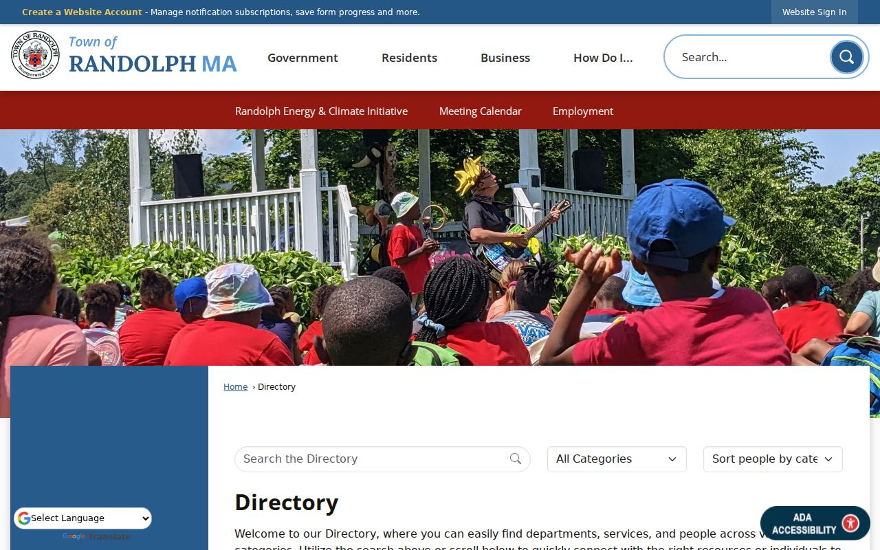
These listed departments support public civic research, but they are not a substitute for an unverified neighborhood membership roster.
Compare Randolph Neighbor Sources by Purpose
Official records and commercial neighbor tools answer different questions. A commercial category may combine data of uneven age and origin. Official sources are narrower, but they identify the custodian, the date or record type, and the access limit. For a block question, that narrower evidence is easier to verify and less likely to turn a hint into a claim about a person.
| Source category | Useful for | Key limit |
|---|---|---|
| Official parcel and assessment records | Current owner-of-record and property context | Owner field does not prove residence |
| Official deed and plan records | Legal title, transfer, boundary, easement history | Title is not a current-household list |
| Municipal voter request | Permitted public local voter fields | Protected data and confidential voters are excluded |
| Commercial neighbor tools | Unverified leads to investigate carefully | Age, source, and coverage may be unclear |
Find Past Randolph Neighbors in Local Sources
Historical block research belongs in dated records. Randolph directories are cataloged for discontinuous years from 1884 through 1950, and voting-list holdings cover several periods from 1932 to 1989. Turner Free Library's digital history collection adds town reports, Oracle yearbooks, historical material, and street-scene photographs. The newspaper archive contains the Randolph Herald from 1967-1993 and the Randolph Mariner from 1985-1990.
Use a historic address or surname as a search term, then verify a notice against a deed, probate file, vital record, or other appropriate custodian. A photo or newspaper notice adds context about the block at a date. It does not prove a current connection.
Randolph Neighbor Lookup Privacy Limits
Public block research has firm boundaries. Massachusetts protects confidential voters, Address Confidentiality Program participants, protected court material, and restricted records. Parcel, assessment, deed, and abutters sources do not disclose every person at a property, private delivery information, DMV data, or protected addresses. A custody inquiry is also not a neighborhood record: no public county web roster was located for the Norfolk County Correctional Center.
The Norfolk Sheriff information page shows the official county custody contact route rather than a public block-search tool.
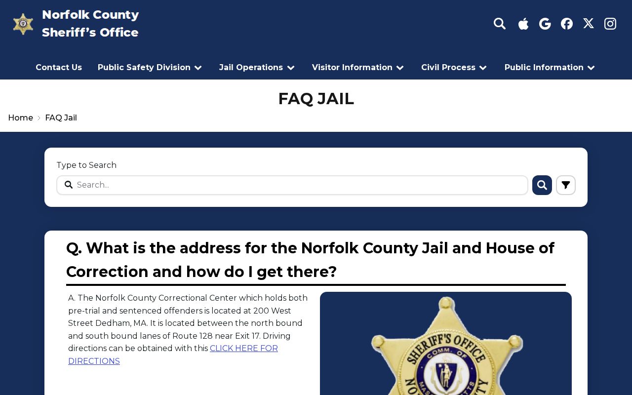
Its contact-only approach is a useful reminder that an official source may provide a lawful request path without publishing a name-search roster.
Lawful use. Randolph neighbor research supports personal, civic, and family-history questions; never use public records to stalk, harass, intimidate, or expose another person.