
Find People Along a Randolph Street
Start a street-by-street search with the building or parcel, not a presumed household. The Randolph assessor record can give a current owner-of-record lead, the situs address, a mailing address, a parcel identifier, and property details. MapGeo then supplies the map context. The Norfolk deed index tests the legal title trail, while a Town Clerk request can address the separate question of registered voters. Historical directories may add an occupant for a particular year. None of those records alone proves that every person connected with an address lived there.
- Search the address in the Randolph Vision assessment database and save the situs address, owner name, parcel reference, and mailing address as separate fields.
- Open the parcel in Randolph MapGeo, check the street segment, and compare the boundary with the assessor result.
- Search the owner in the Norfolk land-record system by town and date, then read the deed image and legal description before treating a name as a title match.
- For civic-residence research, request the relevant local voter or street-list material from the Randolph Clerk / Registrar, recognizing that protected records are withheld.
- For an earlier period, compare the address with the State Library's cataloged Randolph directories and voting lists, then test the same household against census and newspaper evidence.
Note: A useful street directory trail keeps ownership, mailing, registered-voter, and historical-occupancy evidence in separate columns until the records independently agree.
Search a Randolph Street Directory by Parcel
The official town Action Center links the assessment database, GIS viewer, permit center, and payment services in one place. Vision's public welcome screen identifies the FY2026 database, while its live database is expected to accept owner, location/address, and parcel searches. Exact internal labels and partial-match behavior were not exposed in the captured text, so an address should be tried with normalized street suffixes, directional prefixes, and abbreviations rather than assuming a particular search rule.
| Randolph assessment field | Input type | What is known | Practical use |
|---|---|---|---|
| Owner/name | Live search mode | Town links an owner search; exact label was not captured | Find an owner-of-record lead |
| Location/address | Live search mode | Exact label and format were not exposed | Begin a by-address search |
| Parcel ID | Live search mode | Exact format was not located | Carry the map or parcel reference across records |
| Enter Online Database | Button | Required to reach the live database | Move beyond the public welcome screen |
| ZIP filter | Not located | No ZIP-wide control was verified | Do not assume a ZIP search exists |
The Randolph Action Center is the town's official starting point for those address-based services.
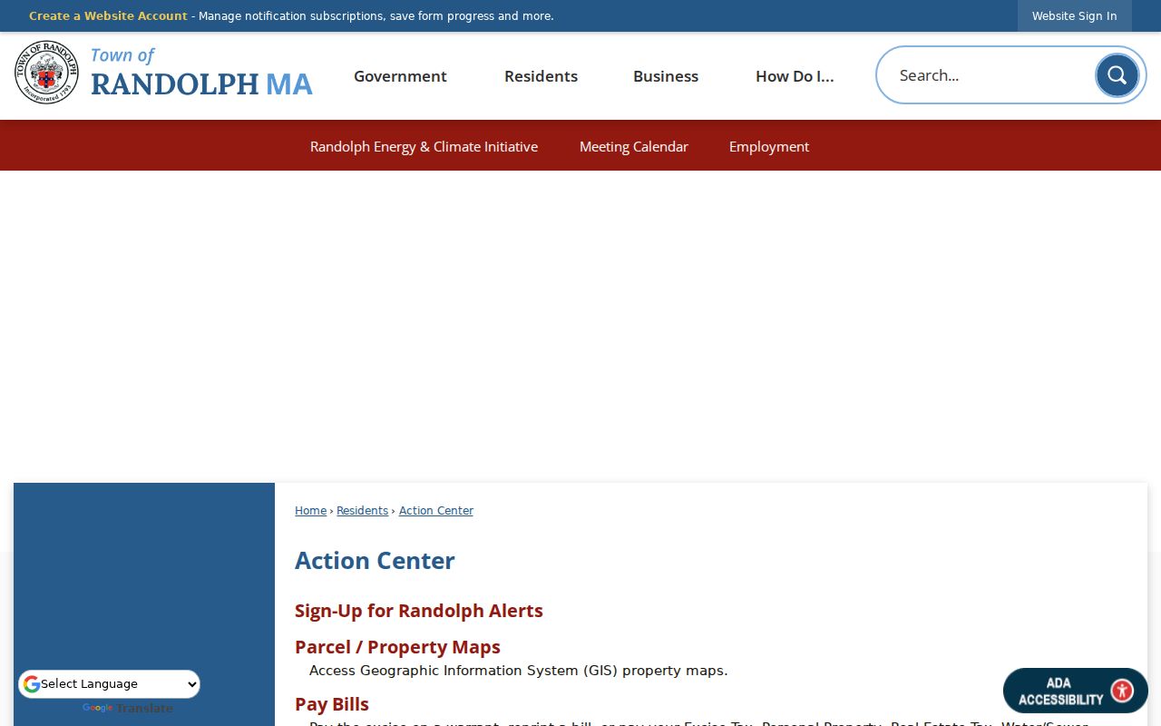
Its grouped links show why a parcel card is a lead rather than a complete street directory: the next record may sit in a different town or county system.
Read MapGeo Along a Randolph Street
MapGeo is the town-linked parcel viewer for seeing how a known address relates to the lots around it. Center the known parcel, zoom until boundaries and street numbers are readable, then use the identify or select behavior shown in the live viewer on adjoining parcels. Compare each selected parcel with the assessment record. The text-only capture did not expose a verified layer list, buffer tool, radius control, or field inventory, so those functions should not be assumed from the landing page alone.
Use only the layers needed for the question. A boundary can help distinguish two similar street numbers, but it does not turn an owner field into a list of every resident. The assessor's certified abutters process is the stronger alternative when the need is a current owner list around a parcel rather than a visual check of nearby lots.
The town-linked MapGeo parcel viewer is the source for this map context.
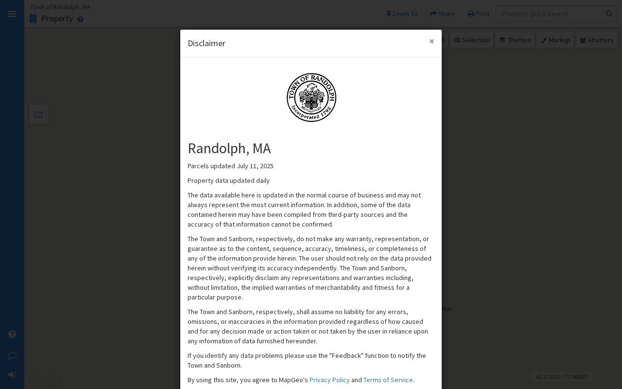
The image is useful for orienting a street segment, while the assessor card and deed image provide the record details that the map alone cannot establish.
Randolph Street Directory Records and Access
Address-keyed sources in Randolph are held by different custodians. The assessor and MapGeo give the present parcel framework. The Registry connects a parcel to legal title. Inspectional Services can hold construction or code material by address. The Clerk controls local voter and street-list records under Massachusetts access and confidentiality rules. The table separates the kind of evidence each source supplies, including the counter or request route when an online record is not enough.
| Address record | Randolph or Norfolk keeper | What it can establish | Access route |
|---|---|---|---|
| Assessment parcel card | Randolph Assessors | Owner-of-record, mailing address, parcel, valuation, property details | Vision database or assessor counter |
| Parcel map | Randolph MapGeo | Boundary, map context, adjoining parcels, linked assessment reference | Public dynamic viewer |
| Recorded and registered land | Norfolk Registry of Deeds | Title instruments, parties, plans, legal description, deed references | Online index/images, Registry terminals, copy route |
| Local voter or street-list record | Randolph Clerk / Board of Registrars | Requestable public voter fields or street-list material | Municipal request, with confidential records omitted |
| Permit and code history | Randolph Inspectional Services | Application, work, inspection, and enforcement chronology | PermitEyes, office, phone scheduling, or record request |
Mailing address and situs address should never be merged without checking the source. A tax bill can go elsewhere, and an owner can hold more than one parcel. The actual residence question needs its own appropriate evidence.
Trace Randolph Street Deeds Backward
Norfolk's recorded-land index and document images reach from 1793 forward, but address searching is strongest for applicable documents recorded after systematic address inclusion began in 2003. For an older house, search the owner as grantee, limit the town to Randolph, and copy the seller, recording date, book and page or document number, plan reference, and legal description. Then search that seller as a prior grantee. Test Recorded Land first and Registered Land or Land Court second because the two indexes are separate.
The Registry's historical transcription project makes 1793-1900 handwriting easier to read, though the original image remains important where a boundary or name matters. Free online images are unofficial and carry a “Not An Official Copy” overlay. The Registry describes an annual subscriber account and paid official-image printing, while mail, in-person, and public-terminal routes remain part of the research path.
The Norfolk recorded-land search exposes the name, town, document, date, address, and book/page research paths used in this chain.
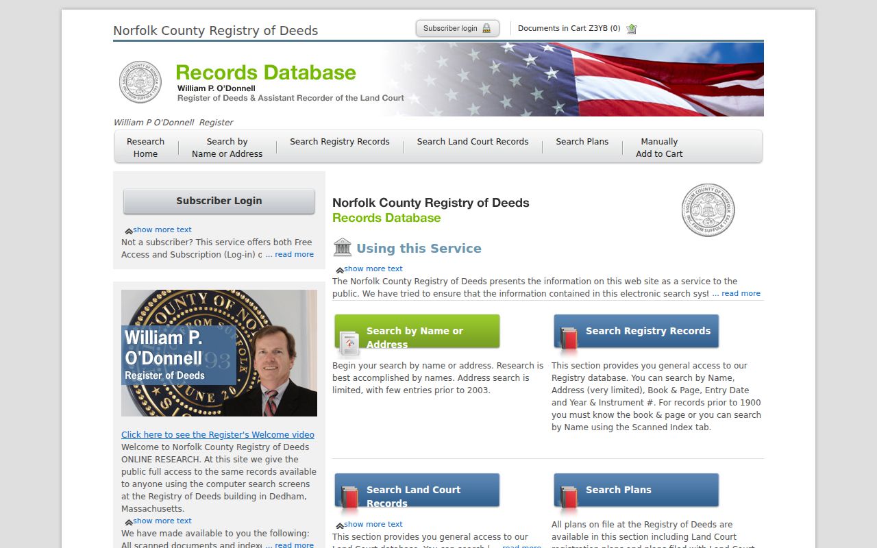
Its fields support a careful change from an address search to party and title-reference searching when an older Randolph street address does not appear.
Check Randolph Street Permits by Address
Randolph Inspectional Services lists building, electrical, plumbing, gas, signage, and code-enforcement work. A public permit history can place a construction, alteration, or inspection in time, but it should not be treated as a resident list. Ask for the address and year range, then request the application date, applicant, owner, project description, permit number, inspection result, certificate of occupancy, and enforcement disposition, subject to applicable exemptions.
PermitEyes requires account registration, a permit type, required fields, document uploads, review, status monitoring, and later fee payment. Inspections are scheduled by phone according to the town office. That fallback matters when a search result is missing or when a historical file needs an office request.
The Randolph Inspectional Services page identifies the permit and inspection routes.
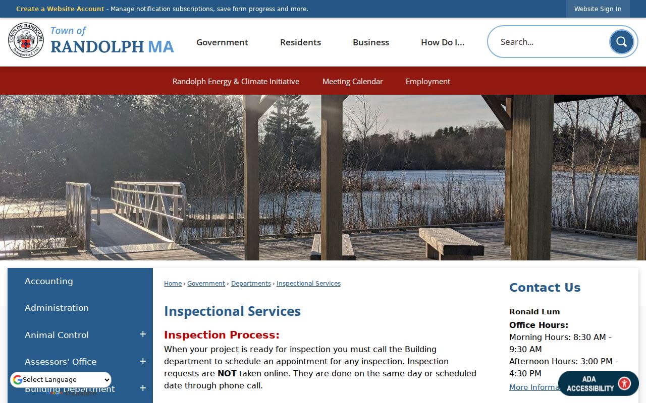
Permit material adds a dated property event to a street record, not a conclusion about every person connected with the address.
Request a Randolph Street List Carefully
Massachusetts does not publish a general statewide voter-name lookup. Most voter and election records are public through local election officials, and the Randolph Town Clerk or Board of Registrars is the appropriate local route. A request can specify Randolph, a paper or electronic format, date range, precinct or street, and whether it seeks voter lists, registration forms, participation history, or street lists. Ask for a cost estimate and required redactions before treating the result as complete.
Public local voter material can include name, residence address, party, date of birth, activity status, voter ID, registration or inactivity dates, and voting history. Phone, email, veteran status, permanent absentee status, minors' records, and confidential-voter records are withheld. A ballot choice is never shown. The Secretary of the Commonwealth's access guidance explains the public and confidential split.
Test an Older Randolph Street Address Twice
Historic street work should preserve the address exactly as printed, then test the legal description, plan number, owner sequence, and nearby parcels. Randolph has no verified official street-renumbering or street-renaming chronology in the research record. That is a reason to check town annual reports, Registry plans, the 1897 Sanborn map, and Turner Free Library street photographs, not a reason to assign a year to a change.
Cataloged Randolph directory years are discontinuous from 1884 through 1950. A historical street or reverse section can be a useful clue for that year, but the exact Randolph reverse-directory run was not located. For the historical volumes themselves, use the Randolph Directory Book rather than treating a current parcel search as an occupancy record.
Randolph Street Geography Uses Different Keys
Randolph's familiar road anchors include Main Street and Routes 28, 24, 138, and 139 or Union Street, but each record system organizes an address differently. The assessor uses situs and parcel identifiers. Deeds rely on legal descriptions and plans. The Clerk works with street lists and precinct records. USPS uses delivery routes and ZIP data. The town's 12 precincts and 02368 postal geography are useful context, yet neither substitutes for a legal parcel boundary.
This records-geography difference is especially important when a name appears under more than one address string. Keep the source's own spelling and key, then compare the next record instead of forcing every system into one format.
Understand Randolph Street Directory Terms
Address records use terms that look similar but do different work. Defining them before the search helps prevent a mailing address from being mistaken for a residence or a map label from being mistaken for a title reference. In Randolph, the parcel card, MapGeo view, and Norfolk deed image should be read together, with each source retaining its own key.
- Parcel
- The assessed unit of real property shown through the Randolph assessor and parcel map. One owner can hold more than one parcel.
- Situs address
- The location of the parcel or building. It can differ from the mailing address used for tax correspondence.
- Plat or plan
- A recorded map or plan reference that helps identify a lot, boundary, or subdivision when the street address is incomplete or older.
- Criss-cross directory
- A historical reverse or street section that may group printed entries by address for a particular publication year. No continuous Randolph run was verified.
For an old street search, a legal description or plan reference often supplies the steadier bridge between a directory entry and a current parcel.
Randolph Street Directory Privacy Limits
A street directory can show public ownership, public filings, or a historical address entry, but it cannot reveal every person at an address. The abutters process certifies current owners of record, not all occupants. Public voter lists omit confidential voters and other protected fields. Massachusetts Address Confidentiality Program participants use substitute addresses, and public deed or assessor records do not open DMV, utility, delivery, sealed-court, or protected-victim information.
Lawful use. Randolph street records support personal, family-history, property, and civic research; never use them to stalk, harass, intimidate, or expose another person.